Issue 13 of the Absecon Newsletter has been posted!
Click below to view the latest issue of Absecon's newsletter.
If the PDF does not display below, refresh the page or click here to download the file directly.
August Tax Bills
The 2024 Final/2025 Preliminary Tax Bills (yellow this year) have been mailed! Please keep an eye out for them in your mail box over the next few days. The grace period for the August 1st payment has been extended to Monday, August 12th. Pursuant to N.J.S.A. 54:4-66 et seq., the payment for the 3rd quarter 2024 installment must be received by August 12, 2024, after which time all receipts shall be deemed delinquent, with interest accruing from August 1st, 2024.
If you have any questions, please do not hesitate to call the Tax Office at 609-641-0663:
Jessica ext. 116
Joy ext. 117
Kylee ext. 118
Join the Mayor's Walking Club 7/6/24
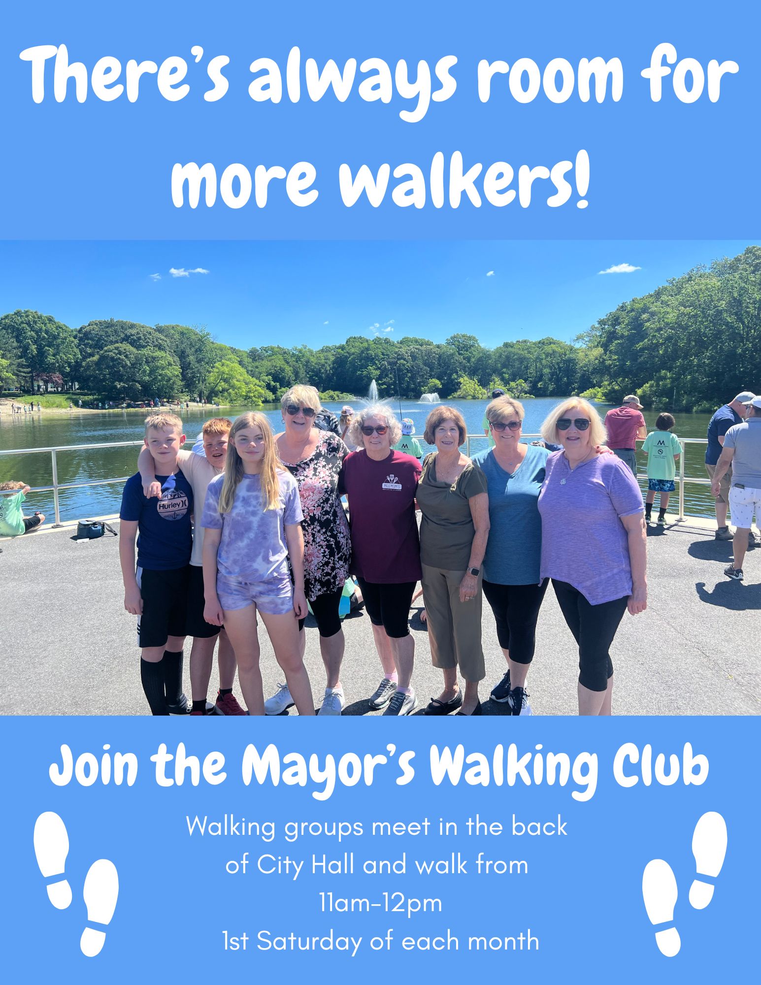
There’s always room for more walkers!
Join the Mayor’s Walking Group
Walking groups meet in the back of City Hall and walk from 11am-12pm 1st Saturday of every month.
Christmas in July- Movie in the Park 7/19/24

Please consider bringing an unwrapped toy for our annual Toys for Kids event in December. See less
Absecon City Council Honors Disability Pride Month

Join Absecon City Council as we honor Disability Pride Month. At the beginning of our Council meeting, Tuesday July 2nd 6:30pm Absecon City Hall. Special Guest Jacob Hackett